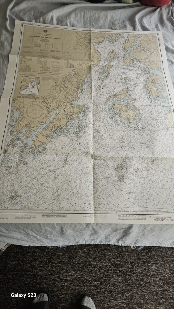
48 X36 NOAA Map Nautical Chart Sounding Maine Pennobscot BAYRockland overprinted 13305 1984 vinalhaveni ilsand
$ 6.34
Description
48 X36 NOAA Map Nautical Chart Sounding Maine Pennobscot BAY. Large. Overprinted. Some pen on margin No tears. Large 3 foot x 4 foot. some staining on margins top and bottom. See photos Large. Overprinted. Some pen on margin No tears. Large 3 foot x 4 foot. some staining on margins top and bottom. See photos