City map of London
$ 85.54
Description
City map of London. Breadstreet Ward and Cordwainer Ward with it's Division into Parishes taken from the last Survey. A city map of Bread Street and Cordwainer. Copper Engraving by Richard Blome (1635-1705), 1720. Source: John Stow. A survey of the cities of London and Westminster (...). London, A. Churchill, etc., 1720. Good condition. Paper slightly soiled. Verso: blank. Dimensions: 303 x 175 mm. Breadstreet Ward and Cordwainer Ward with it's Division into Parishes taken from the last Survey. A city map of Bread Street and Cordwainer. Copper Engraving by Richard Blome (1635-1705), 1720. Source: John Stow. A survey of the cities of London and Westminster (...). London, A. Churchill, etc., 1720. Good condition. Paper slightly soiled. Verso: blank. Dimensions: 303 x 175 mm.
Related products
-
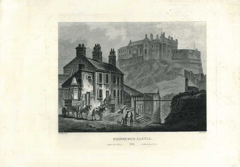
View of Edinburgh
$ 85.54 -
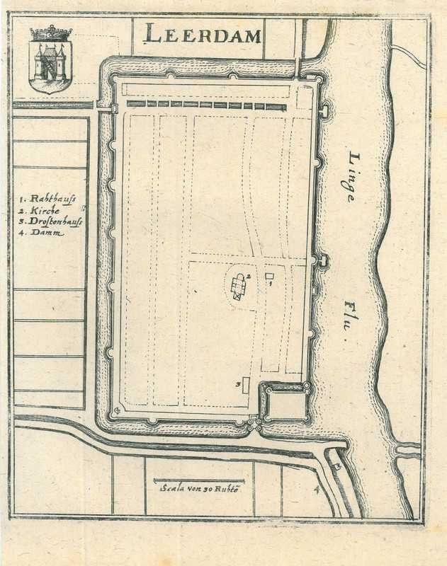
City map of Leerdam
$ 24.95 -
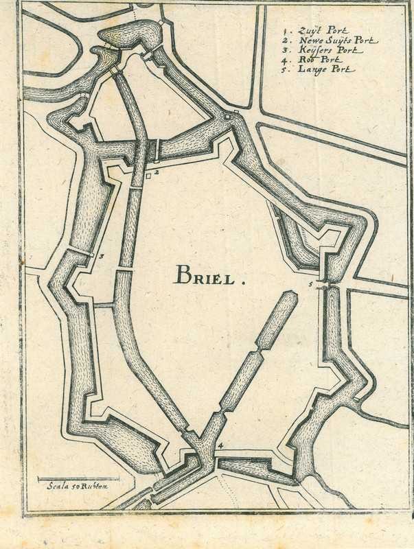
City map of Brielle
$ 21.39 -
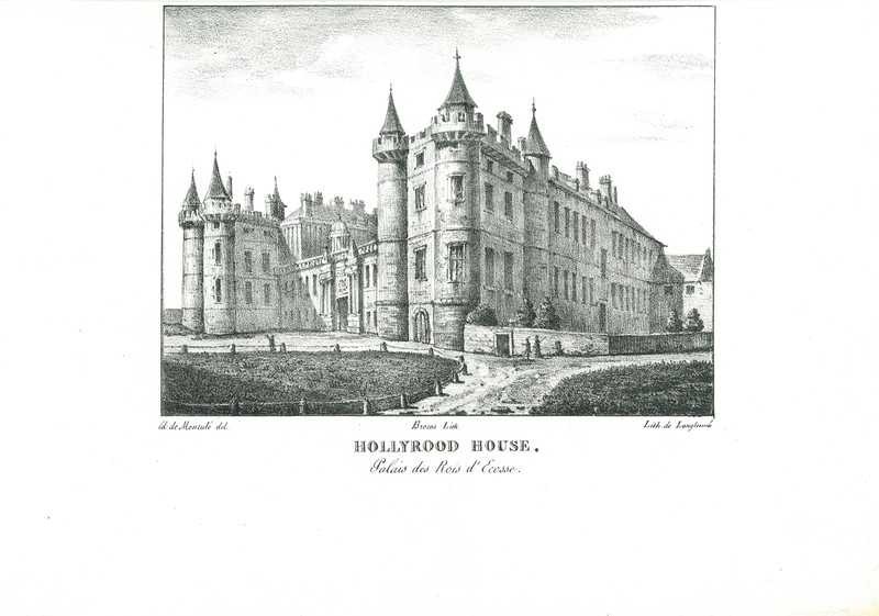
View of Edinburgh
$ 57.03