City map of Marseille
$ 60.59
Description
City map of Marseille. Lentree du Port de Marseille, et le Plan, de la Citadelle (...). A city map of Fort Saint-Jean and part of the city and harbour of Marseille, in the Bouches-du-Rhone department. Copper Engraving, c. 1705. Source: N. de Fer. Les forces de l'Europe (...), c. 1705. Good condition. Paper slightly browned and slightly soiled. Minor creasing. Numbered in an old manuscript 90 in the upper right corner of the margin. Verso: blank. Dimensions: 184 x 247 mm. Lentree du Port de Marseille, et le Plan, de la Citadelle (...). A city map of Fort Saint-Jean and part of the city and harbour of Marseille, in the Bouches-du-Rhone department. Copper Engraving, c. 1705. Source: N. de Fer. Les forces de l'Europe (...), c. 1705. Good condition. Paper slightly browned and slightly soiled. Minor creasing. Numbered in an old manuscript 90 in the upper right corner of the margin. Verso: blank. Dimensions: 184 x 247 mm.
Related products
-
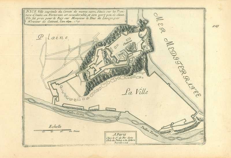
City map of Nice
$ 49.9 -
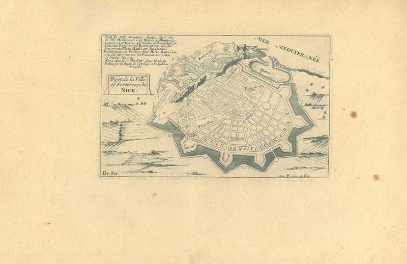
City map of Nice
$ 57.03 -
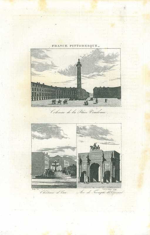
View of Paris
$ 21.39 -
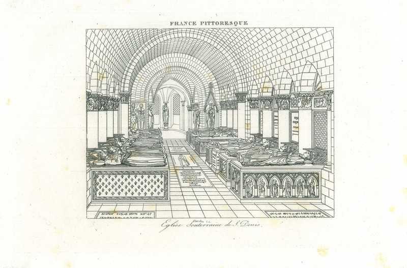
View of Paris
$ 21.39