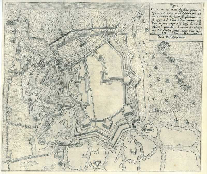
City map of Ostend
$ 71.28
Description
City map of Ostend. Ostende. A city map of Ostend during the siege in 1604. Copper Engraving, 1609. Source: P. Giustiniano. Delle guerre di Flandra libri VI. (...). Antwerp, J. Trognesio, 1609. Good condition. Paper expertly cleaned. Fold as issued. Verso: blank. Dimensions: 224 x 326 mm. Ostende. A city map of Ostend during the siege in 1604. Copper Engraving, 1609. Source: P. Giustiniano. Delle guerre di Flandra libri VI. (...). Antwerp, J. Trognesio, 1609. Good condition. Paper expertly cleaned. Fold as issued. Verso: blank. Dimensions: 224 x 326 mm.
Related products
-
City map of Ostend
$ 71.28 -
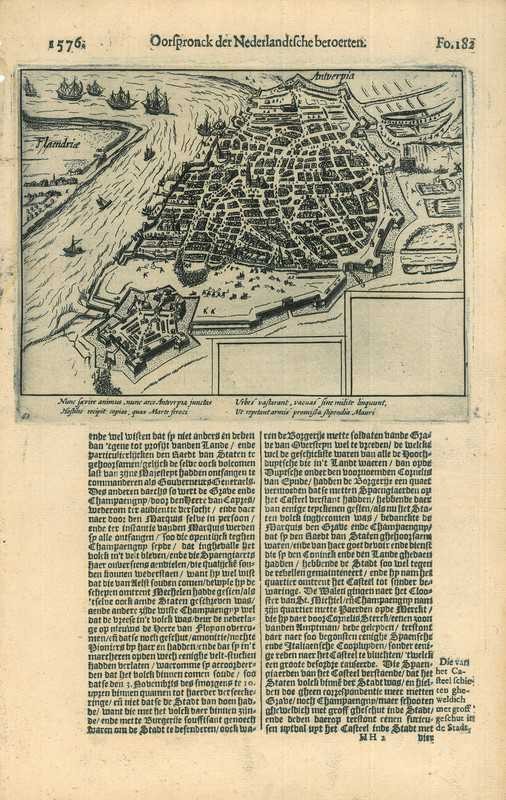
Historical print of Antwerp
$ 89.1 -
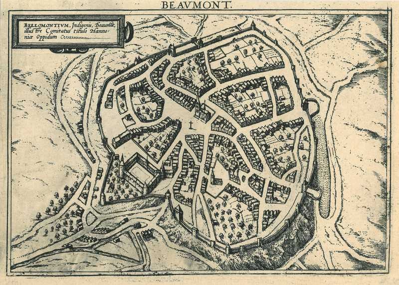
City map of Beaumont
$ 42.77 -
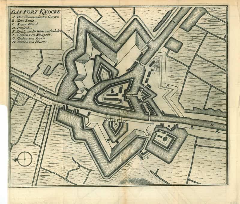
City map of Fort Knokke
$ 57.03