City map of Selestat
$ 57.03
Description
City map of Selestat. Schletstatt. A city map of Selestat, in the Bas-Rhin department. Copper Engraving, c. 1660. Source: M. Zeiler. Topographia Galliae (...). Frankfurt, Matthaus & Caspar Merian, 1655-1661. Reasonable condition. Centrefold as issued. Paper with ample margins, but with some browning along edges and along the centrefold. Some minor creasing. Verso: blank, with traces of former mounting. Dimensions: 222 x 315 mm. Schletstatt. A city map of Selestat, in the Bas-Rhin department. Copper Engraving, c. 1660. Source: M. Zeiler. Topographia Galliae (...). Frankfurt, Matthaus & Caspar Merian, 1655-1661. Reasonable condition. Centrefold as issued. Paper with ample margins, but with some browning along edges and along the centrefold. Some minor creasing. Verso: blank, with traces of former mounting. Dimensions: 222 x 315 mm.
Related products
-
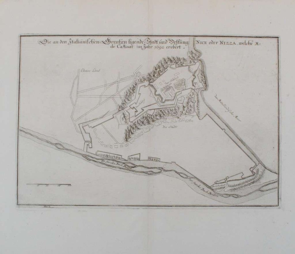
City map of Nice
$ 71.28 -
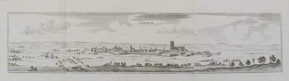
View of Aire-sur-la-Lys
$ 78.41 -
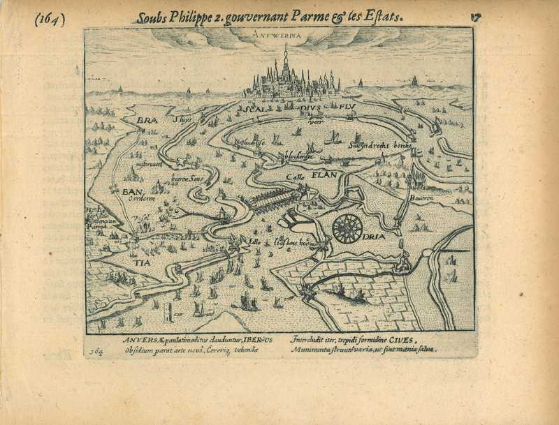
Historical print of Antwerp
$ 96.23 -
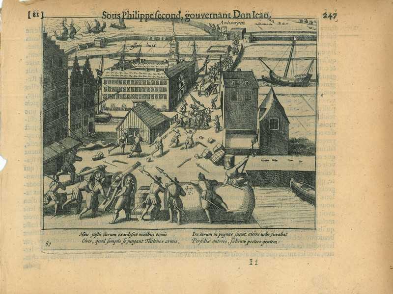
Historical print of Antwerp
$ 49.9