Longmans Central Europe 1789 Atlas Plate — Holy Roman Empire, Poland Partitions
$ 26.4
Description
Longmans Central Europe 1789 Atlas Plate — Holy Roman Empire, Poland Partitions. Condition: Clean Longmans atlas plate with sharp chromolithographic color, paper supple. A Longmans, Green & Co. historical atlas plate of Central Europe in 1789 — a retrospective educational map produced c. 1905-1920 to teach the pre-Revolutionary political order. The dashed 'Boundary of the Empire' (the Holy Roman Empire frontier) is the most prominent cartographic feature, organizing the entire plate around a political structure that had no modern equivalent. Partition of Poland annotations mark the three dismemberments (1772, 1793, 1795) directly on the map. Pedagogical depth: The Partition annotations ("To Russia 1772," "To Prussia 1793," "To Austria 1795") prove this is a retrospective construction, not a contemporary 1789 document. A contemporary map could not have marked events that had not yet occurred. Dynastic color-coding: France in green, Austrian Dominions in orange, Prussia in white, Turkish Dominions in lavender, Italian states in multi-color — territory organized by dynastic possession, not ethnic or linguistic nation. The color system itself is a lesson in how pre-national-state Europe worked. Condition: Clean Longmans atlas plate with sharp chromolithographic color, paper supple. Title cartouche, Partition annotations, and Longmans imprint all legible. Longmans historical atlas plates with identified publisher imprint and rich historiographical content — the Partition annotations, the Empire boundary, the dynastic color system — are a step above generic educational map plates. Included: Loose atlas plate.
Related products
-
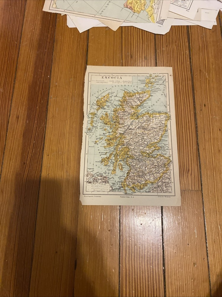
Spanish Map Of Scotland
$ 10.04