
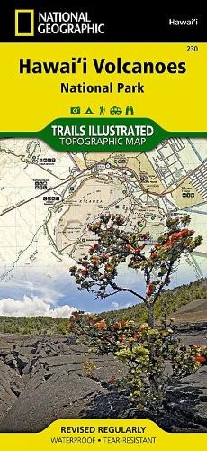
Nat Geo Maps Hawaii Volcanoes National Park Map (Map)Another great item from Rarewaves USA | Free delivery!
$ 8.73
Description
Nat Geo Maps Hawaii Volcanoes National Park Map (Map). The park was created to preserve the natural setting of Kilauea, one of the world's most active volcanoes, and Mauna Loa, the world's most massive subaerial volcano. The park is also refuge for many native plants and animals. Further DetailsTitle: Hawaii Volcanoes National Park Map Condition: New Format: Map Subtitle: Trails Illustrated Maps ISBN-10: 1566953294 Author: Nat Geo Maps Release Date: 08/02/2012 EAN: 9781566953290 ISBN: 9781566953290 Edition: 2026th ed. Publisher: National Geographic Maps Genre: Travel & Transport Topic: Atlases & Maps Item Height: 235mm Item Length: 108mm Description: • Waterproof • Tear-Resistant • Topographic MapThere is perhaps no better place to witness the awesome volcanic activity of our planet than Hawaii Volcanoes National Park. The park was created to preserve the natural setting of Kilauea, one of the world's most active volcanoes, and Mauna Loa, the world's most massive subaerial volcano. The park is also refuge for many native plants and animals. National Geographic's Trails Illustrated map of Hawaii Volcanoes National Park combines unmatched detail with helpful information to offer an invaluable tool for making the most of your visit to this extraordinary landscape. Created in partnership with local land management agencies, this expertly researched map features key areas of interest including Makaopuhi Crater, Napau Crater, Chain of Craters Road, Kapapala, and Pu'u Loa. The print version of this map also includes a detailed inset of Kilauea Caldera.Designed with a wide range of visitors in mind, this map features detailed and easy to read trails that are clearly marked according to use and include mileage between intersections. A handy day hike chart with length, time, and descriptions of each hike will help you choose a trail that's right for you. Road types are differentiated as well, so you know if the route you choose is a paved, four-wheel-drive, or high-clearance road. Recreation features and amenities are clearly marked, including campgrounds, trailheads, interpretive trails, picnic areas, scenic overlooks, points of interest, restrooms, lodging, and food services. The map base includes contour lines and elevations for summits.Every Trails Illustrated map is printed on 'Backcountry Tough' waterproof, tear-resistant paper. A full UTM grid is printed on the map to aid with GPS navigation.Other features found on this map include: Hawai'i Volcanoes National Park, Island of Hawaii, Kau Desert, Kilauea Crater, Mauna Loa. Type: United States Item Weight: 100g Language: English Country/Region of Manufacture: US Release Year: 2012 Missing Information?Please contact us if any details are missing and where possible we will add the information to our listing.