North Sea England Netherlands 1729 Moll Unusual Antique Original Sea ChartANTIQUE COPPER ENGRAVED MAP OF THE NORTH SEA 1729 MOLL
$ 10.56
Description
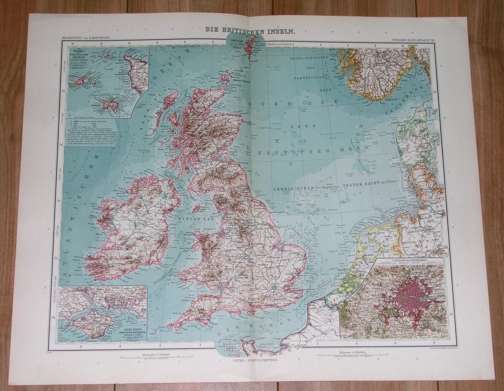
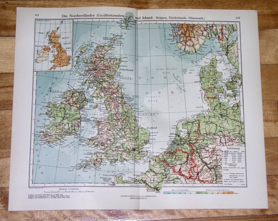
NORTH SEA ENGLAND NETHERLANDS 1729 MOLL UNUSUAL ANTIQUE ORIGINAL SEA CHART. Herman Moll (1654 - 1732) was an important 18th century map publisher and engraver based in London and Holland. What is known for certain is that he moved to London in 1678, possibly fleeing the Scanian War, where he worked as an engraver for Moses Pitt and other London map publishers. NORTH SEA ENGLAND NETHERLANDS 1729 MOLL UNUSUAL ANTIQUE ORIGINAL SEA CHART NORTH SEA ENGLAND NETHERLANDS 1729 MOLL UNUSUAL ANTIQUE ORIGINAL SEA CHART Description A Chart of Part of ye Sea Coast of England, Holland & Flanders &c. Shewing the Sands, Banks, Depth of Water, Bearing, and the course of the Principal Tracts from the River Thames, and Harwich, &c. to ye Texel, Helevoet Sluys, Ostend, Calais, and their Distances in English Miles, with remarks. By Herman Moll Geographer, according to Capt. G. Collins. Description: Striking and highly decorative fine unusual original copper engraved North Sea region showing sea routes between England and the coasts of Holland, the Low Countries and France.. Composition and Design: The map employs a detailed cartographic style typical of the early 18th century, with intricate engravings and hand-coloring to delineate boundaries and important features. The orientation of the map features a compass rose, which is central to navigation charts from this period, indicating directions and helping sailors plot their courses. Depths of water are marked in fathoms, and sandbanks and navigational hazards are carefully charted. Key Features and Inscriptions: The map prominently displays the coastal regions of England, particularly Norfolk, Suffolk, and Kent, as well as parts of the Netherlands and Flanders. Important ports and towns such as Yarmouth, Harwich, and Rotterdam are noted. The map includes numerous sandbanks and shoals, which are crucial for navigation, as these posed significant hazards to shipping at the time. Notable landmarks like the Thames River and the Texel are central to the chart. Inscriptions on the map provide essential information for navigation, including distances in English miles and specific sailing instructions. There is a detailed explanation of the coastlines, marking the sands, banks, and depths, which would have been invaluable to sailors and traders operating in these busy maritime regions. Medium and Style: The medium is an engraved print, with hand coloring that highlights territorial divisions and important geographical features. The style reflects the precision and artistry of early 18th-century cartography, where functionality and aesthetic presentation were both crucial. The map serves both as a practical navigation tool and a work of art, demonstrating the craftsmanship of the period. Cultural and Historical Context: This chart is a product of the Age of Exploration and maritime trade expansion, reflecting the period’s keen interest in accurate and detailed geographic information. The North Sea was a bustling hub of commercial activity, and precise maps were essential for the safe passage of goods and people. Herman Moll, the creator, was known for his detailed and informative maps, which were widely used by navigators and traders. Publication Details: This map is part of an atlas that includes a collection of 62 maps. The atlas, known as "The Atlas Minor," was first published in 1729 and went through several editions. The third edition, to which this map belongs, includes updated and revised maps. It represents an important historical document, capturing the geographical understanding of the time and serving as a testament to the cartographic knowledge and maritime priorities of early 18th-century Europe. This map was created by Herman Moll, a prominent geographer, with contributions from Captain Greenville Collins. This map is a significant historical artifact, combining practical navigation information with the artistic and technical skills of early modern mapmakers. It illustrates the critical importance of maritime charts in the economic and exploratory endeavors of the time Source: Atlas minor: or a new and curious set of sixty-two maps, in which are shewn all the empires, kingdoms, countries, states, in all the known parts of the earth; with their bounds, divisions, chief cities & towns, the whole composed & laid down agreable to modern history. By Herman Moll, Geographer. (3rd ed.) London, Printed for Thos. Bowles in St. Pauls Church Yard & John Bowles at the Black Horse in Cornhill (1729). Date: 1729 ( undated ) Dimension: Print size approx.: cm 35,6 x 22,8 Condition: Very strong and dark impressiond on good paper. Paper with chains. Sheet old original colored. Short margin tyo the top. Wide lower margin. Wide left margins. Small foxing and browning. Small tear at the top repaired on the verso. Conditions are as you can see in the images. Mapmaker: Herman Moll (1654 - 1732) was an important 18th century map publisher and engraver based in London and Holland. Moll's origins are disputed with some suggesting he was born in the Netherlands and others Germany - the Moll name was common in both countries during this period. Most likely Moll was a German from Bremen, as his will, friends, and contemporaries suggest. What is known for certain is that he moved to London in 1678, possibly fleeing the Scanian War, where he worked as an engraver for Moses Pitt and other London map publishers. Around the turn of the century, Moll set up his own shop where he produced a large corpus of work known for its high quality and decorative flair. As a new émigré to England, Moll made himself more English than the English, and through his cartography proved a fierce advocate for his adopted nation. Most of Moll's early maps were issued as loose sheets that would be bound to order, however, he did publish several important atlases late in his career. Moll is said to have made the bold claim that without a doubt "California is an Island" and that he "had in [his] office mariners who have sailed round it." While California may not be an island (yet), it is true that Moll had talent for attracting interesting friends and acquaintances. He frequented London's first stock exchange, Jonathan's Coffeehouse at Number 20 Exchange Alley, Cornhill. At the time Jonathan's was known as "a place of very considerable concourse for Merchants, sea faring Men and other traders" (Erleigh, The Viscount, The South Sea Bubble, Manchester: Peter Davies, Ltd., 1933, 21). Eventually this activity attracted the interest of stock brokers, who inspired by sailor's tales, sponsored the ill-fated South Sea Company, the world's first stock bubble. Moll's close circle, mostly from the Coffee House, included scientist Robert Hooke, the writers Daniel Defoe (Robinson Crusoe) and Jonathan Swift (Gulliver's Travels), the pirates William Dampier, William Hacke and Woodes Rogers, and the archeologist William Stukeley. Herman Moll's work was highly regarded for its decorative beauty and was pirated, most notably by the Irish publisher George Grierson, both in his lifetime and after his 1732 death at St. Clement Danes, London. All of the maps we sell are ORIGINALS. We guarantee all of our maps to be authentic. We do our best to describe the condition of our maps as accurately as possible. Due to the age and type of paper, some imperfections are to be expected. Please examine the images provided carefully, and if you have any questions please ask and we will be happy to help. A Certification of Authenticity ( COA ) can be issued on request I will send you all your item by FedEx/DHL with covering Insurance If you buy more than one item you have to pay just one only shipping cost Any map purchased from us may be returend for any reason for a full refund. Shipping: Customs may be charged on international shipments. All customs charges are the responsiblity of the buyer and are not included in the selling price. All goods destined for the United States are exempt from any taxation. About: Old Times Rare Antiquarian Books & Maps Sellers Our Firm was founded in 1983 and we are specialized on antiquarian works on paper concerning Antique Rare Maps, Atlases and Travel Books of all the World. Our Firm adheres to the Codes of Ethics outlined by the Italian Antiquarian Booksellers Association ( ALAI ) and International League of Antiquarian Booksellers ( ILAB ). All items sold by OLD TIMES are genuine and a Certificate of Authenticity (COA) will be happily supplied on request. Many Thanks View My Feedback View My Other Items For Sale View My About Me page Visit My eBay Store Add me to your Favorite Sellers Click images to enlarge Images sell! Get Supersized Images & Free Image Hosting Create your brand with Auctiva's Customizable Templates. Attention Sellers - Get Templates Image Hosting, Scheduling at Auctiva. Track Page Views With Auctiva's Counter