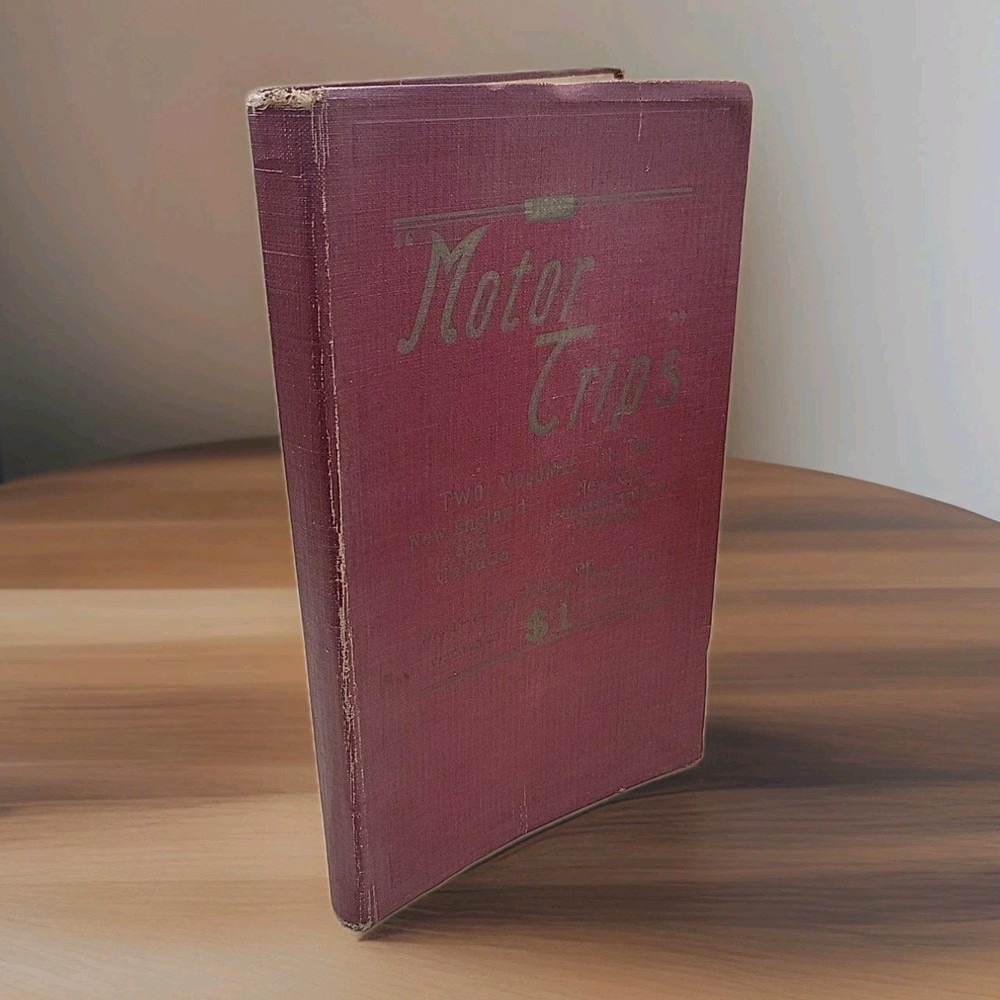
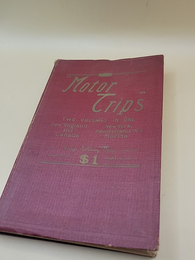
Vintage 1930 Motor Trips Guide Book New England New York Florida Maps bx23
$ 5.81
Description
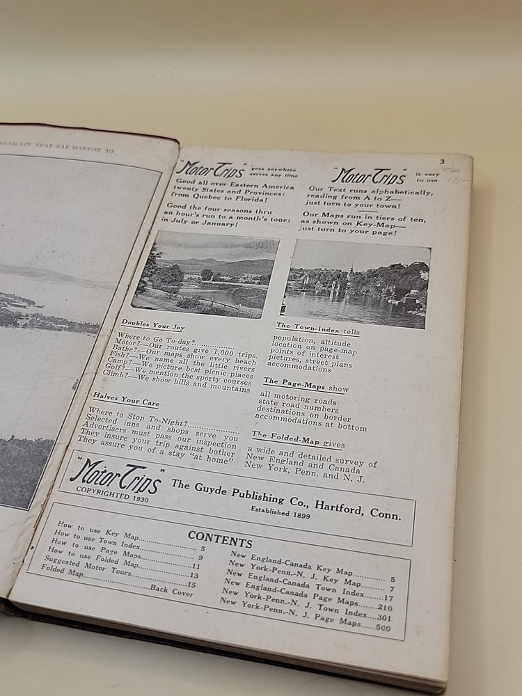
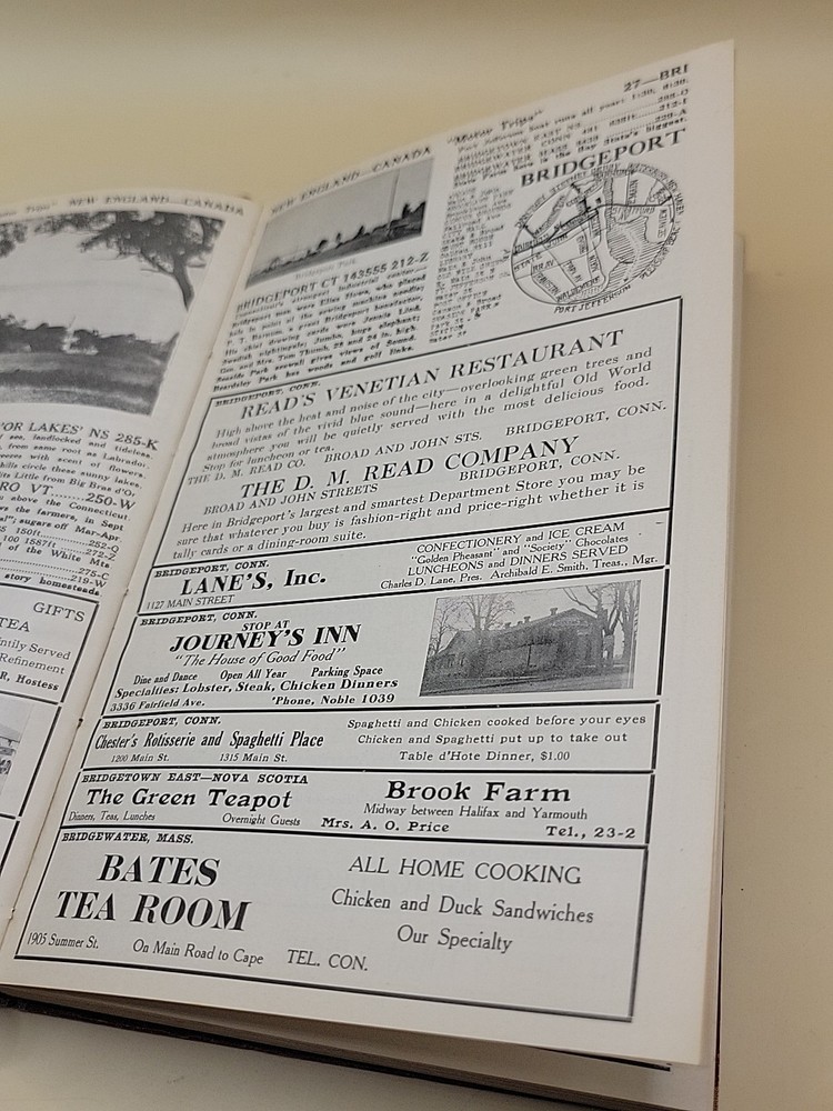
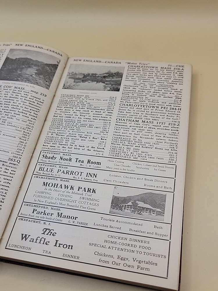
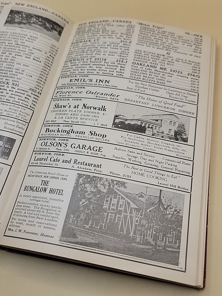
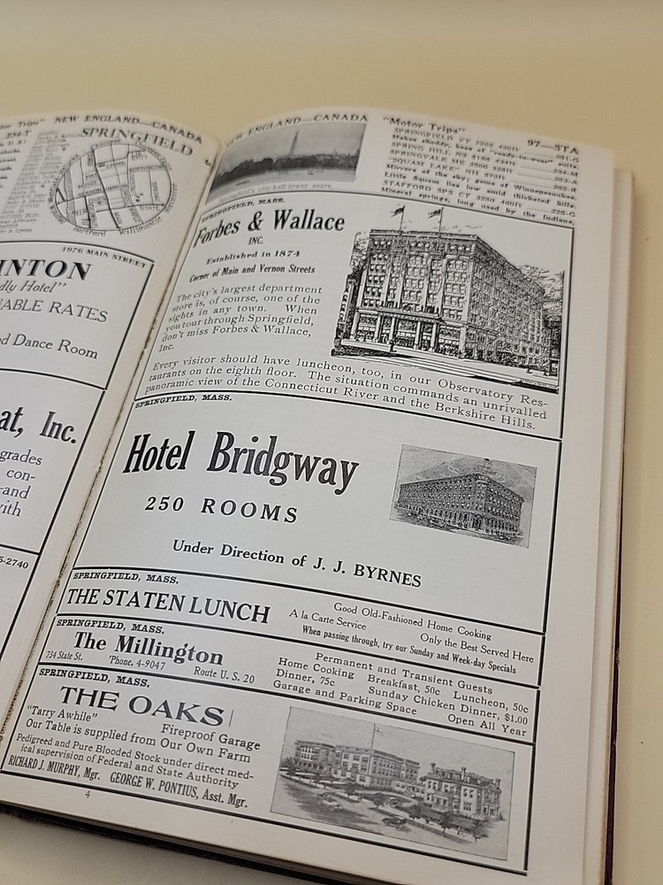
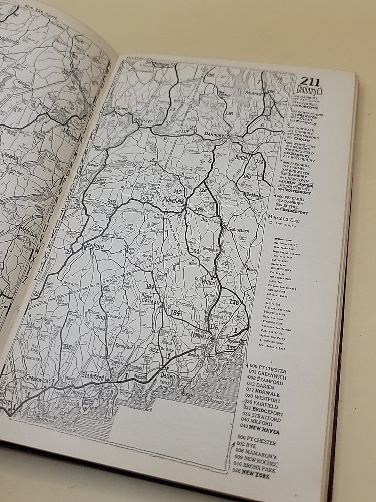
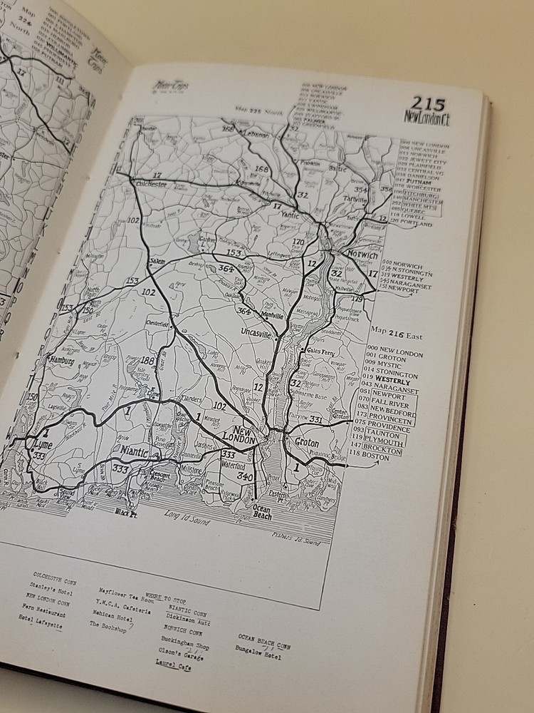
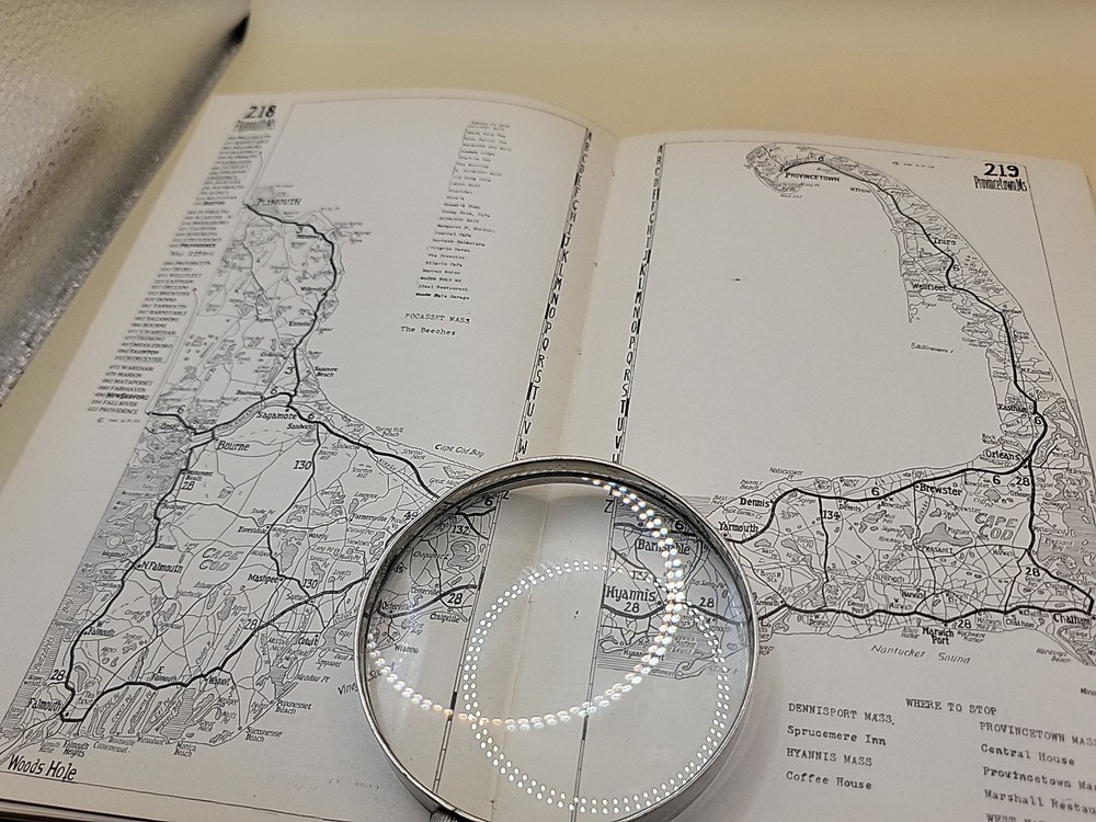
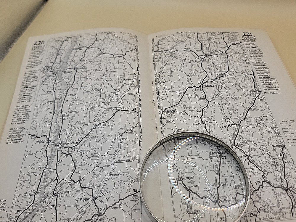
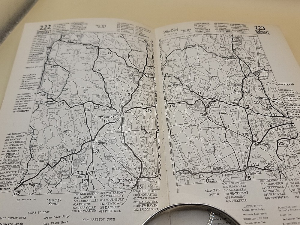
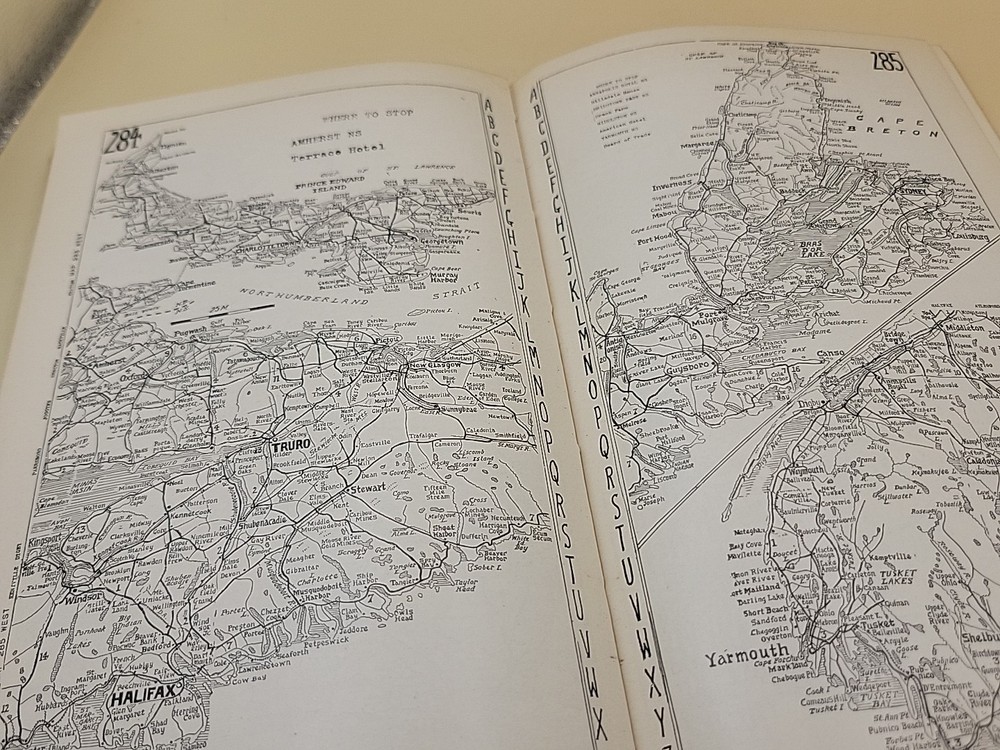
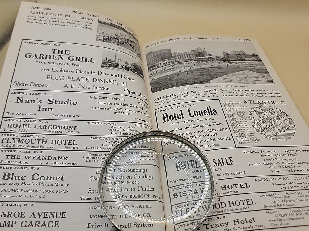
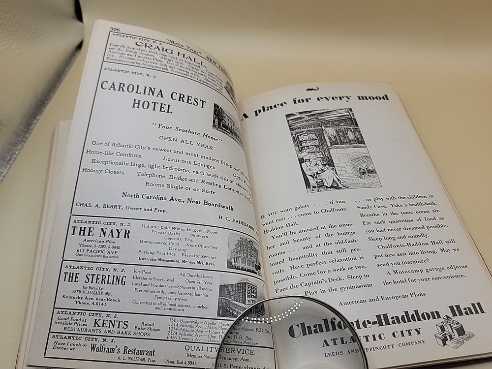
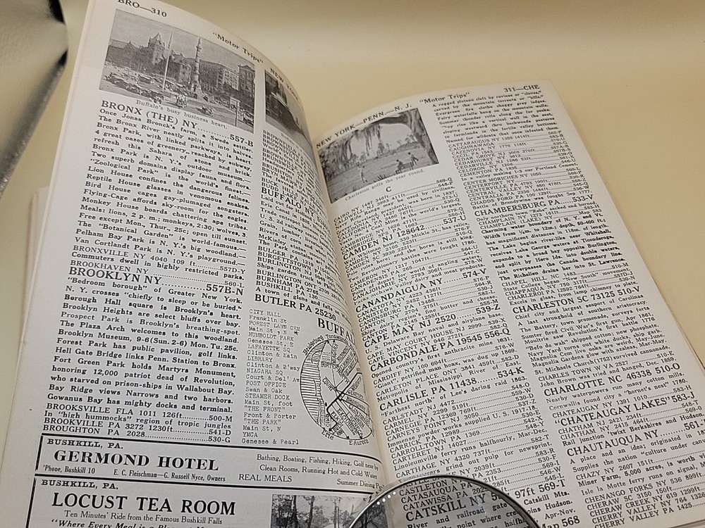
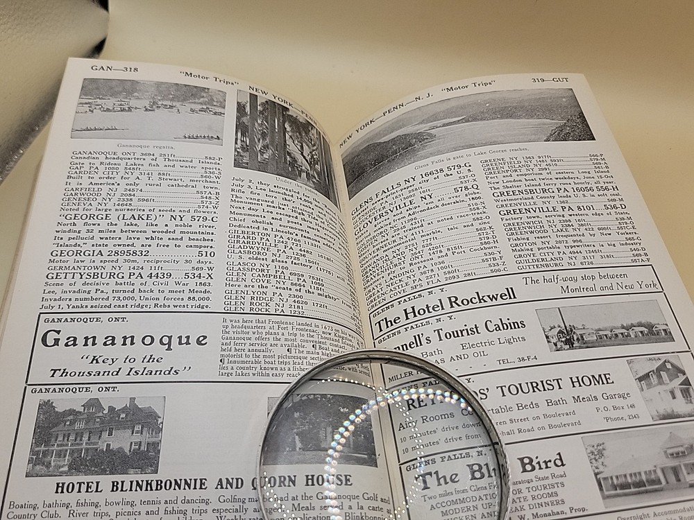
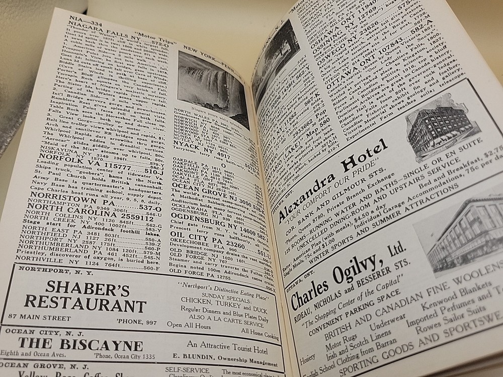
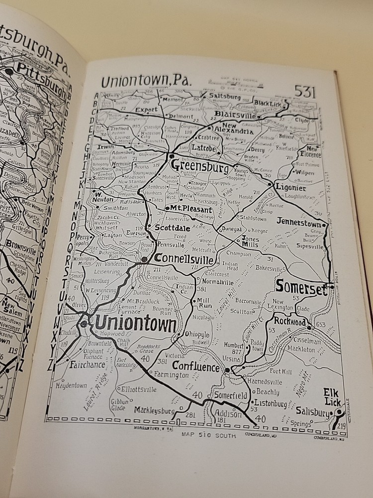
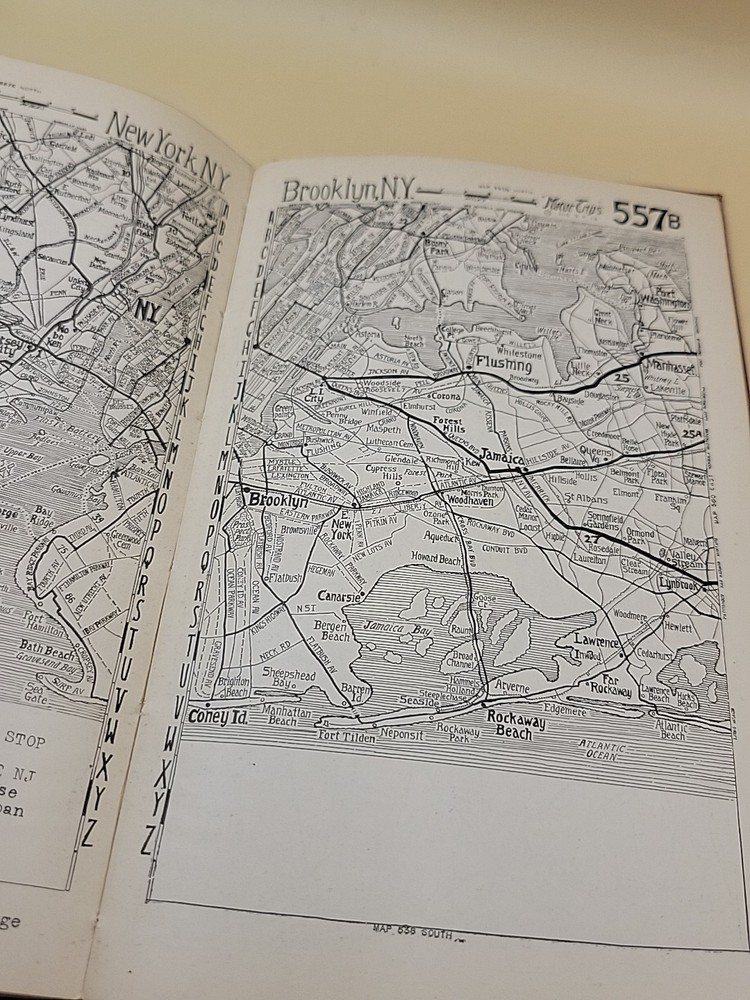
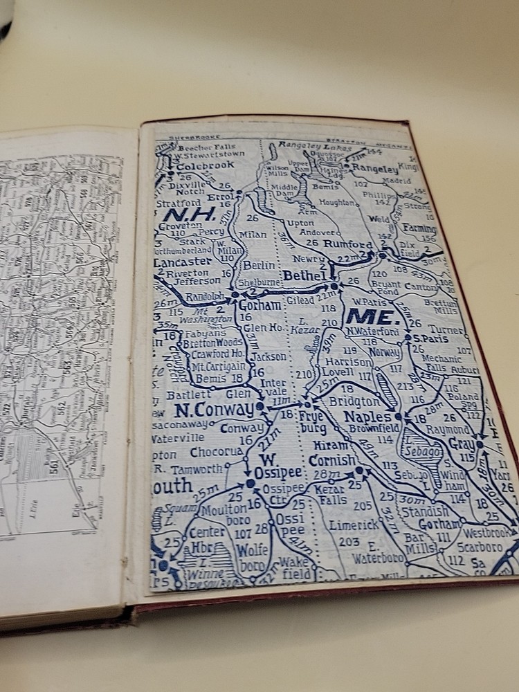
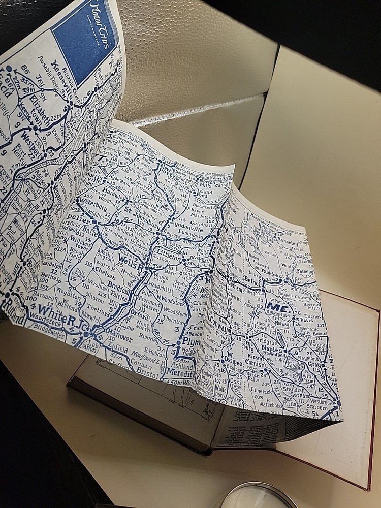
Vintage 1930 Motor Trips Guide Book New England New York Florida Maps bx23. The flexible cover boards show standard shelf wear, edge rubbing, and typical surface smudging or corner bumping from decades of storage. 1930 This is an incredibly unique, authentic 1920s original softcover edition of "Motor Trips": The Simplified Motor Guide, compiled as an expansive "Two Volumes in One" edition by the Guyde Publishing Company. Published during the dawn of the American road trip era, this massive vintage travel itinerary beautifully charts early automobile routes across Eastern North America, spanning all the way from New England and Canada through New York, Pennsylvania, New Jersey, and down to Florida. Because the title page omitted a printed publication date, this rare artifact stands out as a highly specialized time capsule of pre-highway American history. What makes this specific travel guide exceptionally cool and highly collectible is its incredible, exhaustive depth of coverage across thousands of tiny, historic American small towns. Long before the creation of the modern Interstate Highway System, early motorists relied entirely on local roads, town squares, and obscure rural pathways to navigate between states. This book painstakingly captures those lost pathways, functioning as a "who's who" of 1920s rural communities, detailing local business stops, historic landmarks, and regional topography that have since been entirely bypassed by modern highways. The interior of this volume is packed with hundreds of intricate, simplified road maps, detailed highway mileage logs, and fascinating circular town street plans designed to guide steering-wheel pioneers safely through unfamiliar territory. Alongside the cartography, the pages are filled with rare, period-accurate localized advertisements for long-forgotten vintage hotels, open-air campgrounds, regional garages, and small-town restaurants. It provides an unparalleled reference tool for local historians, genealogists, and lovers of early Americana who want to see exactly how these communities looked a century ago. As a century-old softcover travel book, this item is being sold in used antique condition with normal, age-appropriate wear from its time riding along on early American roads. The flexible cover boards show standard shelf wear, edge rubbing, and typical surface smudging or corner bumping from decades of storage. The spine remains intact and the binding holds the extensive map and text sections together firmly, though some pages display standard paper aging, light foxing, or minor edge chips. Please meticulously review all the high-resolution listing photos provided to inspect the exact condition of the spine, cover borders, and sample maps before placing a bid. This hard-to-find, multi-region automobile timetable is a stellar addition for collections specializing in antique cartography, early transportation history, or vintage East Coast travel memorabilia. It offers a nostalgic, highly detailed window into a bygone era of slow-paced exploration and roadside hospitality before the advent of uniform highway markers. Your book will be carefully wrapped in protective materials and shipped securely in a rigid box to preserve its current condition during transit. Please feel free to message with any questions or if you would like close-up pictures of a specific state or town index!