ZURICH SWITZERLAND 1623ca GERARD MERCATOR UNUSUAL ANTIQUE COPPER ENGRAVED MAPANTIQUE ORIGINAL COPPER ENGRAVED MAP OF ZURICH REGION
$ 10.56
Description
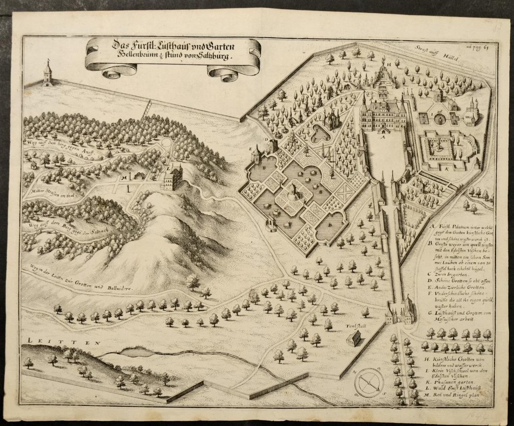
ZURICH SWITZERLAND 1623ca GERARD MERCATOR UNUSUAL ANTIQUE COPPER ENGRAVED MAP. The plate was acquired by Jodocus Hondius. In 1552, he moved with his family into the city of Duisburg (Germany). He worked also on an edition of Ptolemy’s Geographia which appeared in 1578. Young Gerard learned what Latin he could in Rupelmonde, and when he was about fifteen, his uncle sent him to ’s Hertogenbosch to study at a school run by the Brothers of the Common Life. ZURICH SWITZERLAND 1623ca GERARD MERCATOR UNUSUAL ANTIQUE COPPER ENGRAVED MAP ZURICH SWITZERLAND 1623ca GERARD MERCATOR UNUSUAL ANTIQUE COPPER ENGRAVED MAP Description Zurichgow, et Basiliensis provinciae [Title on the verso]. Per Gerardum Mercatorem Cum Privilegio. Description: Striking and highly detailed interesting unusual copper engraved map giving a detailed cartographic depiction of the Zurich region in Switzerland, rendered with fine color typical of the time. It is printed on paper and employs a combination of hand-coloring and engraving, which was common for maps of this period. Style and Features: The style of the map reflects the transition from medieval to modern cartography, characterized by a combination of artistic flair and scientific accuracy. It features topographical elements such as mountains, rivers, and forests, depicted with hachures and shading to give a sense of depth and elevation. Settlements, including cities and towns, are marked with symbols and labels. Subject Matter: The map focuses on the Zurich region, showing its geographical features and settlements. Key landmarks and borders are marked, providing insight into the political landscape of early 17th-century Switzerland. Inscriptions in Latin indicate place names and geographic features, which was the scholarly language of the time. Cultural and Historical Context: This map is part of a larger atlas that represents the burgeoning field of cartography during the Renaissance. Gerhard Mercator was a pioneering figure in mapmaking, best known for the Mercator projection, which became a standard for nautical purposes due to its ability to represent lines of constant course. The map reflects the period's interest in exploration and the desire for more accurate geographic information. It was a time of significant political changes in Europe, and maps like this one were crucial for navigation, trade, and territorial administration. Notable Aspects: - Scale and Precision: The map is drawn to a scale of 1:350,000, providing a detailed view of the region. - Color and Detail: The coloring is particularly fine, indicating it may have been part of a special collection or edition. - Inscriptions and Labels: Latin inscriptions provide valuable historical information about the region’s geography and settlements. - Atlas Context: This map was part of an atlas that included maps of various European regions, reflecting the comprehensive nature of early modern cartographic projects. Overall, this map is a significant artifact of early modern cartography, reflecting both the scientific advancements and artistic sensibilities of the period. This map was engraved by Gerard Mercator and included by his heirs in the first editions of that geographer's atlas. The plate was acquired by Jodocus Hondius. Date: 1623 approx. ( undated ) Dimension: Paper size approx.: cm 56,3 x 46,6 Condition: Very strong and dark impression on good paper. Paper with chains and wiremarks. Map old original colored. Wide margins. Small foxing and browning. Small marginal tears. Map folded. Conditions are as you can see in the images. Mapmakers: The Hondius Family Jodocus Hondius the Elder (1563-1612) Joost d’Hondt was born at Wakken (Flanders) in 1563. Two years later, his family settled down in Ghent, where young Joost displayed a great gift for drawing and calligraphy. Through study and lessons, he developed his talents and became an engraver with a good reputation. Due to the circumstances of war, he moved in 1584 to London where he settled down as an engraver, instrument-maker and map-maker. In 1587, he married Coletta van den Keere, sister of the well-known engraver, Pieter van den Keere (Petrus Kaerius); some years earlier his sister, Jacomina, had married Pieter van den Berghe (Petrus Montanus). Joost, who had Latinized his name to Jodocus Hondius, closely co-operated with his two brothers-in-law. The political situation in the Northern Netherlands in 1593 was such that Jodocus seemed to be justified in establishing himself in Amsterdam, where so many Antwerp printers, publishers, and engravers had gone. In this new centre of cartography, Jodocus Hondius set up his business “In de Wackere Hondt” (in the vigilant dog), this name being an allusion to his birthplace and name. Here he engraved many maps and published atlases and many other works such as his continuation of Gerard Mercator’s Atlas. He suddenly passed away in February 1612. The publishing firm of Jodocus Hondius was continued by his widow; later on by his two sons Jodocus Jr., and Henricus, and by his son-in-law, J. Janssonius. Jodocus Hondius II (1594-1629) & Henricus Hondius (1597-1651) After the father’s death, the widow with her seven children continued publishing the atlases under the name of Jodocus Hondius till 1620. The firm was reinforced by the very welcome help of Joannes Janssonius (1588-1664), who married 24-year-old Elisabeth Hondius in 1612. After 1619 Mercator’s Atlas was published under the name of Henricus Hondius. One of the most dramatic events in the early history of commercial cartography in Amsterdam was the sale of Jodocus Hondius Jr.’s copper plates to Willem Jansz. Blaeu in 1629, the year of his death. At least 34 plates, from which Jodocus II had printed single-sheet maps for his own benefit, passed into the hands of his great competitor. Immediately after that, his brother, Henricus, and Joannes Janssonius ordered the engraving of identical plates. During a long period, Henricus devoted all his energy to the publication of the Atlas. He saw its growth up to, and including, the fourth part in 1646; after that, his name does not figure any more on the title-pages. After 1638, the title of the Atlas was changed to Atlas Novus; it was mainly carried on by Joannes Janssonius. The competition with the Blaeu's dates from 1630. In 1630, Willem Janszoon (=Blaeu) made the first attack with his Atlantis Appendix. In 1635, Blaeu completed his Theatrum orbis terrarum in two volumes with texts in French, Latin, Dutch, and German, which prompted Henricus Hondius to speed up the enlargement of his Atlas. Gerard Mercator (1512 – 1594) was born as Gerard de Cremere in Rupelmonde (near Antwerp) on 5 March 1512. Young Gerard learned what Latin he could in Rupelmonde, and when he was about fifteen, his uncle sent him to ’s Hertogenbosch to study at a school run by the Brothers of the Common Life. One of Mercator’s teachers was the celebrated humanist Macropedius. After three and a half years with the brothers, Gerard went to Louvain, where he enrolled in the university in 1530 as one of the poor students at Castle College. By this time, he had Latinized his name to Mercator. He studied philosophy and took his master’s degree in 1532. The problems of the creation of the Universe and the Earth interested him in particular; this is reflected by his works, written in later years. After spending a few years in Antwerp, he returned to Louvain c. 1535, where he took courses in mathematics under the guidance of Gemma Frisius. Soon he was recognised as an expert on the construction of mathematical instruments, as a land-surveyor and, after 1537, as a cartographer. He drew his income from these activities after his marriage on 3 August 1536. He also qualified himself as a copper-engraver; he was the first in history to introduce the italic handwriting to this trade. The first maps, drawn and engraved by Gerard Mercator are: Palestine, 1537; the world in double heart-shaped projection, 1538; and Flanders, 1540. In 1544, Mercator came into great danger: he was arrested on the accusation of heresy and put into jail. Thanks to intervention of the University of Louvain, he was released after four months. In 1552, he moved with his family into the city of Duisburg (Germany). In 1560, Mercator became cosmographer in service of the Duke of Jülich-Cleve-Berge and in 1563 he became lecturer at the Grammar School of the new University in Duisburg. During this period, he made wall-maps of Europe, 1554; of Loraine, 1564; the British Isles, 1564; and the famous map of the world with increasing latitudes, 1569. About this time, Mercator was also working on the project for a complete description of the Creation, the Heavens, Earth, and Sea and a world history. Out of this resulted his Atlas, sive cosmographicae meditationes de fabrica mundi et fabricati figura. He worked also on an edition of Ptolemy’s Geographia which appeared in 1578. The first part of his book with modern maps (France, Germany and the Netherlands) appeared in 1585. Shortly after the publication of the second part of his map-book (not yet called Atlas) with the maps of Italy (1589), he had a stroke which brought an end to his extremely great productivity. The great man passed away on 2 December 1594, leaving the responsibility of finishing the map-book to his son Rumold. The final part of it appeared in 1595. Its title is Pars Altera and it constitutes an essential part of what was then called Mercator’s Atlas. The map of Europe and the world map in the Atlas are by Rumold Mercator. After Rumold’s death in 1599, the Atlas was reissued once more in 1602. The plates of the maps, both of the Ptolemy edition and the Atlas, were sold in 1604 to Jodocus Hondius of Amsterdam. The following year Hondius managed to bring out Ptolemy’s Geographia. In the following year, 1606, the first Amsterdam edition of the Mercator Atlas appeared. From then to 1638, the Atlas saw many enlarged editions in various languages. All of the maps we sell are ORIGINALS. We guarantee all of our maps to be authentic. We do our best to describe the condition of our maps as accurately as possible. Due to the age and type of paper, some imperfections are to be expected. Please examine the images provided carefully, and if you have any questions please ask and we will be happy to help. A Certification of Authenticity ( COA ) can be issued on request I will send you all your item by FedEx/DHL with covering Insurance If you buy more than one item you have to pay just one only shipping cost Any map purchased from us may be returend for any reason for a full refund. Shipping: Customs may be charged on international shipments. All customs charges are the responsiblity of the buyer and are not included in the selling price. All goods destined for the United States are exempt from any taxation. About: Old Times Rare Antiquarian Books & Maps Sellers Our Firm was founded in 1983 and we are specialized on antiquarian works on paper concerning Antique Rare Maps, Atlases and Travel Books of all the World. Our Firm adheres to the Codes of Ethics outlined by the Italian Antiquarian Booksellers Association ( ALAI ) and International League of Antiquarian Booksellers ( ILAB ). All items sold by OLD TIMES are genuine and a Certificate of Authenticity (COA) will be happily supplied on request. Many Thanks View My Feedback View My Other Items For Sale View My About Me page Visit My eBay Store Add me to your Favorite Sellers Click images to enlarge Images sell! Get Supersized Images & Free Image Hosting Create your brand with Auctiva's Customizable Templates. Attention Sellers - Get Templates Image Hosting, Scheduling at Auctiva. Track Page Views With Auctiva's Counter