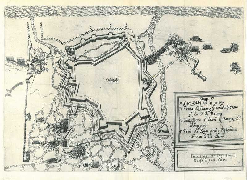
City map of Ostend
$ 46.34
Description
City map of Ostend. Oostend. A city map of Ostend, with on verso a city map of Nieuwpoort. Copper Engraving, 1695. Source: Published in London by H. Moll, 1695. Reasonable condition. Paper a bit soiled and slightly browned. Verso: English text, with map of Nieuwpoort (West Flanders, Belgium). Dimensions: 122 x 155 mm. Oostend. A city map of Ostend, with on verso a city map of Nieuwpoort. Copper Engraving, 1695. Source: Published in London by H. Moll, 1695. Reasonable condition. Paper a bit soiled and slightly browned. Verso: English text, with map of Nieuwpoort (West Flanders, Belgium). Dimensions: 122 x 155 mm.
Related products
-
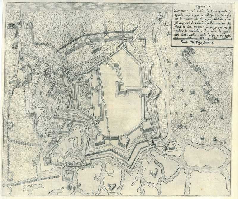
City map of Ostend
$ 71.28 -
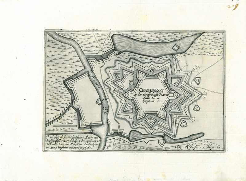
City map of Charleroi
$ 57.03 -
City map of Ostend
$ 71.28 -
City map of Ostend
$ 71.28