HILDESHEIM LOWER SAXONY GERMANY 1636ca JANSSON ANTIQUE COPPER ENGRAVED MAPANTIQUE COPPER ENGRAVED REGIONAL MAP OF GERMANY 1636ca
$ 10.56
Description
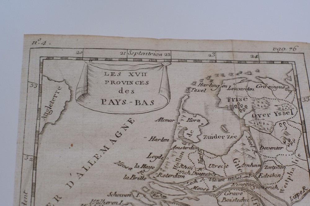
HILDESHEIM LOWER SAXONY GERMANY 1636ca JANSSON ANTIQUE COPPER ENGRAVED MAP. Striking and highly detailed interesting unusual 1636 approx. Johannes Janssonius's copper engraved regional map of Germany. Thw map covers the Lower Saxony centred around Hildesheim. Showing the area from Hannover and Braunschweig in the North, towards Einbeck in the Southern Hundsruck. HILDESHEIM LOWER SAXONY GERMANY 1636ca JANSSON ANTIQUE COPPER ENGRAVED MAP HILDESHEIM LOWER SAXONY GERMANY 1636ca JANSSON ANTIQUE COPPER ENGRAVED MAP Description Episcopatus Hildesiensis descriptio novissima Authore Ioanne Gigante D. Med. et Math. Amstelodami excudebit Ioannes Ianßonius. Description: Striking and highly detailed interesting unusual 1636 approx. Johannes Janssonius's copper engraved regional map of Germany. Thw map covers the Lower Saxony centred around Hildesheim. Showing the area from Hannover and Braunschweig in the North, towards Einbeck in the Southern Hundsruck. The map is richly detailed with cities, towns, villages, rivers, reliefs, forests as well as several gently Armorials. A beautiful title & mileage scales cartocuhe and a decorative mapmakers's notes cartouche adorn the map. Latin text on the verso. Date: 1636 approx. ( undated ) Dimension: Paper size approx.: cm 57,4 x 50,4 Condition: Very strong and dark impression on good paper. Paper with chains. Map old original colored. Wide margins. Small foxing and browning. Small tears. Map folded. Conditions are as you can see in the images. Mapmaker: Joannes Janssonius (Arnhem, 1588-1664), son of the Arnhem publisher Jan Janssen, married Elisabeth Hondius, daughter of Jodocus Hondius, in Amsterdam in 1612. After his marriage, he settled down in this town as a bookseller and publisher of cartographic material. In 1618 he established himself in Amsterdam next door to Blaeu’s book shop. He entered into serious competition with Willem Jansz. Blaeu when copying Blaeu’s Licht der Zeevaert after the expiration of the privilege in 1620. His activities not only concerned the publication of atlases and books, but also of single maps and an extensive book trade with branches in Frankfurt, Danzig, Stockholm, Copenhagen, Berlin, Koningsbergen, Geneva, and Lyon. In 1631 he began publishing atlases together with Henricus Hondius. In the early 1640s Henricus Hondius left the atlas publishing business completely to Janssonius. Competition with Joan Blaeu, Willem’s son and successor, in atlas production prompted Janssonius to enlarge his Atlas Novus finally into a work of six volumes, into which a sea atlas and an atlas of the Old World were inserted. Other atlases published by Janssonius are Mercator’s Atlas Minor, Hornius’s historical atlas (1652), the townbooks in eight volumes (1657), Cellarius’s Atlas Coelestis and several sea atlases and pilot guides. After the death of Joannes Janssonius, the shop and publishing firm were continued by the heirs under the direction of Johannes van Waesbergen (c. 1616-1681), son-in-law of Joannes Janssonius. Van Waesbergen added the name of Janssonius to his own. In 1676, Joannes Janssonius’s heirs sold by auction “all the remaining Atlases in Latin, French, High and Low German, as well as the Stedeboecken in Latin, in 8 volumes, bound and unbound, maps, plates belonging to the Atlas and Stedeboecken.” The copperplates from Janssonius’s atlases were afterwards sold to Schenk and Valck. All of the maps we sell are ORIGINALS. We guarantee all of our maps to be authentic. We do our best to describe the condition of our maps as accurately as possible. Due to the age and type of paper, some imperfections are to be expected. Please examine the images provided carefully, and if you have any questions please ask and we will be happy to help. A Certification of Authenticity ( COA ) can be issued on request I will send you all your item by FedEx/DHL with covering Insurance If you buy more than one item you have to pay just one only shipping cost Any map purchased from us may be returend for any reason for a full refund. Shipping: Customs may be charged on international shipments. All customs charges are the responsiblity of the buyer and are not included in the selling price. All goods destined for the United States are exempt from any taxation. About: Old Times Rare Antiquarian Books & Maps Sellers Our Firm was founded in 1983 and we are specialized on antiquarian works on paper concerning Antique Rare Maps, Atlases and Travel Books of all the World. Our Firm adheres to the Codes of Ethics outlined by the Italian Antiquarian Booksellers Association ( ALAI ) and International League of Antiquarian Booksellers ( ILAB ). All items sold by OLD TIMES are genuine and a Certificate of Authenticity (COA) will be happily supplied on request. Many Thanks View My Feedback View My Other Items For Sale View My About Me page Visit My eBay Store Add me to your Favorite Sellers Click images to enlarge Images sell! Get Supersized Images & Free Image Hosting Create your brand with Auctiva's Customizable Templates. Attention Sellers - Get Templates Image Hosting, Scheduling at Auctiva. Track Page Views With Auctiva's Counter