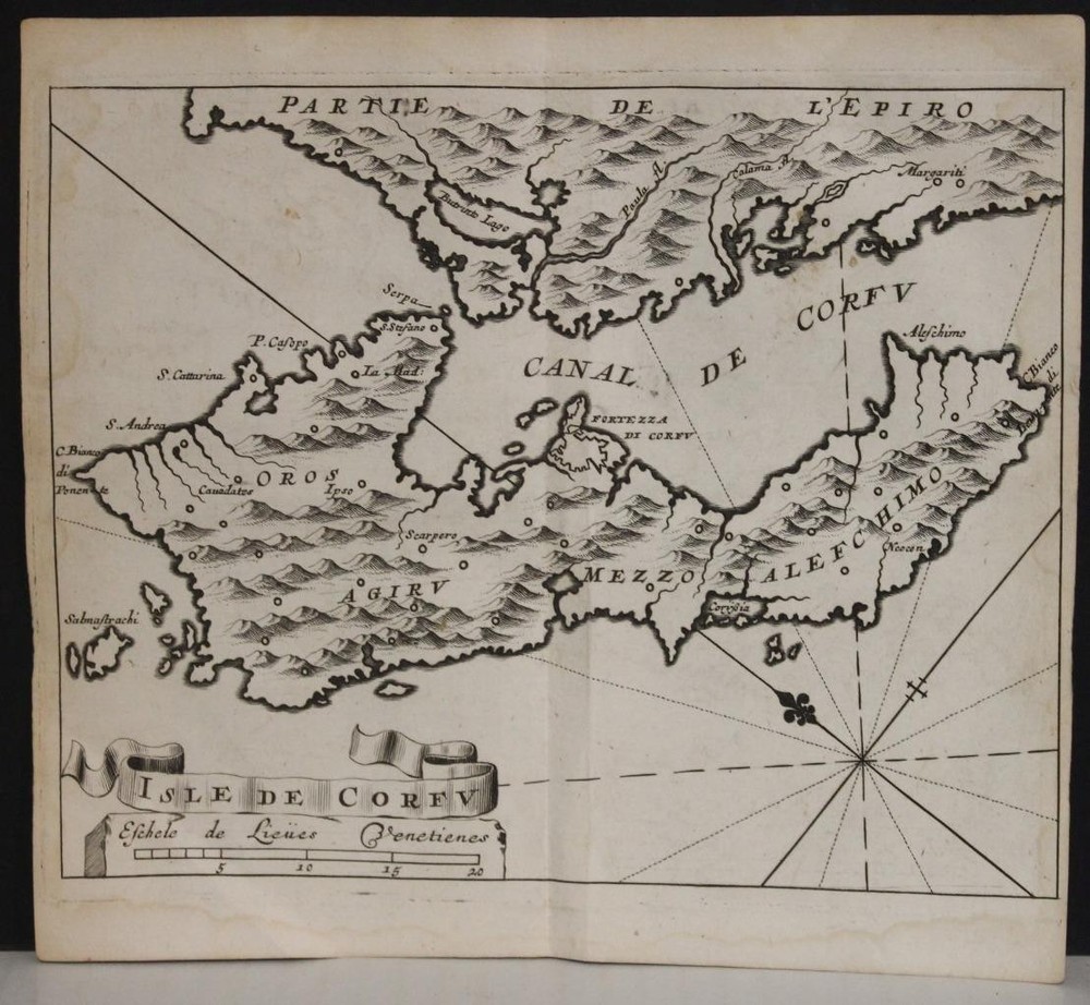
Greece 1561 Girolamo Ruscelli Unusual Antique Original Copper Engraved MapANTIQUE COPPER ENGRAVED MAP OF GREECE BY RUSCELLI 1561
$ 24.29
Description
GREECE 1561 GIROLAMO RUSCELLI UNUSUAL ANTIQUE ORIGINAL COPPER ENGRAVED MAP. This map is part of the first edition of Ruscelli's translation of Ptolemy’s "Geographia" into Italian. Ruscelli’s edition, produced during the Renaissance, reflects the period's renewed interest in classical knowledge and its application to contemporary explorations and geographic understanding. GREECE 1561 GIROLAMO RUSCELLI UNUSUAL ANTIQUE ORIGINAL COPPER ENGRAVED MAP GREECE 1561 GIROLAMO RUSCELLI UNUSUAL ANTIQUE ORIGINAL COPPER ENGRAVED MAP Description Europæ Tabula X. Description: Striking and highly detailed very interesting 1561 Girolamo Ruscelli’s copper engraved map of the Greece. Composition and Medium: The map is engraved, a common technique in the 16th century, allowing for detailed and precise illustrations. The relief is shown pictorially, using shading and line work to indicate topography, such as mountains and valleys. The map is composed in black and white, typical of the period, which emphasizes the intricate line work and historical aesthetic. Style and Subject Matter: The map exhibits a classical cartographic style, reflecting the influence of Claudius Ptolemy, an ancient Roman geographer. It features a grid system with latitude and longitude markings, indicative of Ptolemaic methodology. This scientific approach was revolutionary in its time, emphasizing mathematical precision in mapping. Significant Features: - Landmarks and Regions: The map details significant regions of Greece, including Macedonia, Thessaly, and the Peloponnesus. It also illustrates the surrounding seas, such as the Aegean and Ionian. - Inscriptions: Place names are inscribed in Latin, a reflection of the scholarly language of the time. This includes cities like Athens and Sparta, and islands like Crete (marked as "Creta"). - Geographical Features: Mountains, rivers, and coastal lines are depicted, providing insight into the physical geography of ancient Greece. Cultural and Historical Context: This map is part of the first edition of Ruscelli's translation of Ptolemy’s "Geographia" into Italian. Ptolemy’s work, originally compiled in the 2nd century, was foundational in the development of cartography. Ruscelli’s edition, produced during the Renaissance, reflects the period's renewed interest in classical knowledge and its application to contemporary explorations and geographic understanding. The map is part of a larger atlas that includes both Ptolemaic maps and "modern" maps of the known world, illustrating the expansion of geographical knowledge during the Age of Exploration. This blending of ancient and contemporary geography underscores the transitional nature of the period. Technical Innovations: Ruscelli’s atlas is noted for its incorporation of modern cartographic techniques and geographical discoveries. His maps are based on those by Jacopo Gastaldi but expanded and updated to include new information. This particular map, while rooted in classical tradition, is part of a broader work that includes innovative elements like the double hemisphere world map. Publication Details: In summary, this map is a significant historical artifact that bridges ancient geographical theory with Renaissance innovation. It serves not only as a representation of Greek geography but also as a testament to the enduring influence of Ptolemaic cartography and the intellectual curiosity of the Renaissance. Source: La Geografia di Claudio Tolomeo Alessandrino, nuouamente tradotta di Greco in Italiano, da Girolamo Ruscelli; con Espositioni del medesimo, particolari di luogo in luogo, & uniuersali sopra tutto il libro, et sopra tutta la Geografia, o modo di far la descrittione di tutto il mondo ; et con nuoue & bellisime figure in istampe di rame, oue, oltre alle XXVI antiche di Tolomeo, se ne son'aggiunte XXXVI altre delle moderne; con la carta da nauicare, & col modo d'intenderla, & d'adoperarla; aggiuntoui un pieno discorso di M. Gioseppe Moleto matematico; nel quale si dichiarano tutti i termini & le regole appartenenti alla Geografia et con una nuoua & copiosa tauola di nomi antichi, dichiarati coi nomi moderni, & con molte altre cose utillissime & necessarie, che ciascuno leggendo potra conoscere. Al Sacratissimo et Sempre Felicissimo Imperator Ferdinando Primo. Con privilegio dell'Illustrissimo Senato Veneto, & d'altri Principi per anni XV. In Venetia, Appresso Vincenzo Valgrisi, M.D.LXI. (1561) . Date: 1561 ( undated ) Dimension: Paper size approx.: cm 28,6 x 21,9 Condition: Very strong and dark impression on good paper. Paper with chains . Sheet uncolored. Small foxing and browning. Map folded. Conditions are as you can see in the images. Cartographers: Girolamo Ruscelli (1500-1566) was a cartographer, humanist, and scholar from Tuscany. Ruscelli was a prominent writer and editor in his time, writing about a wide variety of topics including the works of Giovanni Boccaccio and Francesco Petrarch, Italian language, Italian poetry, medicine, alchemy, and militia. One of his most notable works was a translation of Ptolemy’s Geographia which was published posthumously. There is limited information available about Ruscelli’s life. He was born in the Tuscan city of Viterbo to a family of modest means. He was educated at the University of Padua and moved between Rome and Naples until 1548, when he moved to Naples to work in a publishing house as a writer and proofreader. He remained in the city until his death in 1566. Claudius Ptolemy (90 A.D.-168 A.D.) was a celebrated astronomer, mathematician, and geographer who lived in Alexandria in the 2nd century AD. Although his thinking influenced contemporary Arab geographers, little was known of his work in the West until manuscripts from Constantinople reached Italy in about 1400. These manuscripts were written in Greek and contained the names of every city, island, mountain and river known to the many travellers interviewed by Ptolemy. In addition, the latitude and longitude of each of the resulting eight thousand locations were also recorded. They were translated into Latin by 1401 and appeared in print by 1475. The earliest Byzantine manuscript maps, drawn by analysing the Ptolemy figures, date from the twelfth century. A number of hand-drawn copies were made in Italy throughout the early fifteenth century to accompany Ptolemys text. Ptolemy stressed the importance of accurate observations in order to calculate latitude and longitude, and laid down the principals of systematic cartography that remain to this day. Obviously there are many errors in Ptolemys maps, due to the limited extent of basic geographic information at that time and the lack of a method of determining accurate longitudes. Judged by modern standards, the basic shortcoming of the Ptolemy world map is the small area it portrays. The Mediterranean is fairly well depicted, but is greatly exaggerated in length (Longitudinally). The effect of this, combined with Ptolemys disregard for Eratosthenes extremely accurate estimate of the earths circumference (c. 200 B.C.) and the use of a Posidonius much smaller flawed estimate (c.50 B.C.) implied a much shorter distance across that part of the unknown earths surface not drawn on the map. Columbus and his contemporaries based their exploratory ventures on Ptolemys calculations and, like him, had no idea of the vast New World to the west, interposed between Europe and Asia. Work on the first printed atlas from the text of Ptolemy was started in 1473 and finally published in 1478. A crude copy of this atlas was produced and published by some dissident workers in 1477 in order to be first. However, the plates for the 1478 were done prior to the pirated issue and thus the 1478 atlas holds the title of the first Atlas of the world. There are very few surviving examples of this atlas and individual maps. All of the maps we sell are ORIGINALS. We guarantee all of our maps to be authentic. We do our best to describe the condition of our maps as accurately as possible. Due to the age and type of paper, some imperfections are to be expected. Please examine the images provided carefully, and if you have any questions please ask and we will be happy to help. A Certification of Authenticity ( COA ) can be issued on request I will send you all your item by FedEx/DHL with covering Insurance If you buy more than one item you have to pay just one only shipping cost Any map purchased from us may be returend for any reason for a full refund. Shipping: Customs may be charged on international shipments. All customs charges are the responsiblity of the buyer and are not included in the selling price. All goods destined for the United States are exempt from any taxation. About: Old Times Rare Antiquarian Books & Maps Sellers Our Firm was founded in 1983 and we are specialized on antiquarian works on paper concerning Antique Rare Maps, Atlases and Travel Books of all the World. Our Firm adheres to the Codes of Ethics outlined by the Italian Antiquarian Booksellers Association ( ALAI ) and International League of Antiquarian Booksellers ( ILAB ). All items sold by OLD TIMES are genuine and a Certificate of Authenticity (COA) will be happily supplied on request. Many Thanks View My Feedback View My Other Items For Sale View My About Me page Visit My eBay Store Add me to your Favorite Sellers Click images to enlarge Images sell! Get Supersized Images & Free Image Hosting Create your brand with Auctiva's Customizable Templates. Attention Sellers - Get Templates Image Hosting, Scheduling at Auctiva. Track Page Views With Auctiva's Counter